It is too far off to say with much certainty but it looks like the east coast of Florida and certainly the Bahamas will have some strong winds this week from TS Sandy. Before that though Jamaica and Cuba may well feel Sandy as a Cat. I hurricane. It is supposed to weaken down to a tropical storm again as it passes over Cuba, lets hope it does. At any rate take good care out there.
From Passageweather.com
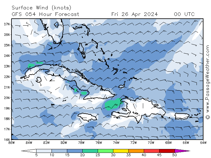
This advanced forecast is from around noon local time in Florida on Friday, October 26, 2012. You can see some strong winds just offshore and likely between now and Saturday from this system. The timing of this is uncertain this far in advance, so don't fixate on any of this. It is just an advanced heads up.
Whether we have serious squalls or not may depend on feeder band development and placement. It is too far off at this point to say much more about that. The current rain forecast for Florida is low but that could change.
 http://www.wunderground.com/data/
A look at the basin satellite imagery
 http://www.wunderground.com/
A closer look at Florida, some feeder bands are already sliding over Florida Tuesday afternoon.
 http://www.nhc.noaa.gov
Be sure to monitor http://www.nhc.noaa.gov/ and http://fksa.org/showthread.php?t=1609 as this system passes through to try to avoid nasty surprises.
Here is the NWS forecast for Palm Beach County. This will change in the coming days how much in what way is uncertain at this time.
"Coastal waters from Jupiter Inlet to Deerfield Beach FL out 20 NM
Rest Of Today: East northeast winds 18 to 23 knots. Seas 6 to 8 feet with occasional seas up to 10 feet. Dominant period 6 seconds. Intracoastal waters rough in exposed areas. Chance of showers.
Tonight: Tropical storm conditions possible. East northeast winds 17 to 22 knots with gusts to around 30 knots along the coast to east northeast 23 to 28 knots with gusts to around 40 knots in the gulf stream. Seas 8 to 10 feet with occasional seas up to 13 feet. Dominant period 7 seconds. Intracoastal waters very rough in exposed areas. Chance of showers.
Thursday: Tropical storm conditions possible. Northeast winds 26 to 31 knots along the coast to northeast 26 to 31 knots with gusts to around 45 knots in the gulf stream. Along the coast... Gusts up to 45 knots in the afternoon. Seas 10 to 12 feet with occasional seas up to 15 feet building to 13 to 15 feet with occasional seas up to 19 feet in the afternoon. Dominant period 8 seconds. Northeast swell 3 feet increasing to east 3 to 5 feet in the afternoon. Intracoastal waters very rough in exposed areas. Chance of showers. Slight chance of thunderstorms in the afternoon.
Thursday Night: Tropical storm conditions possible. North winds 31 to 36 knots with gusts to around 50 knots along the coast to north 30 to 39 knots with gusts to around 55 knots in the gulf stream. Seas 14 to 17 feet with occasional seas up to 20 feet. Dominant period 9 seconds. Intracoastal waters extremely rough. Showers likely and chance of thunderstorms.
Friday: Tropical storm conditions possible. North northwest winds 30 to 37 knots with gusts to around 50 knots along the coast to north northwest 34 to 41 knots with gusts to around 55 knots in the gulf stream. Seas 13 to 15 feet with occasional seas up to 19 feet along the coast and up to 17 to 21 feet with occasional up to 24 feet in the gulf stream. Intracoastal waters extremely rough in exposed areas. Chance of showers and slight chance of thunderstorms.
Friday Night: Tropical storm conditions possible. Chance of showers and slight chance of thunderstorms.
Saturday: West northwest winds 21 to 26 knots with gusts to around 35 knots along the coast to northwest 26 to 31 knots with gusts to around 45 knots in the gulf stream. Along the coast... Seas 10 to 12 feet with occasional seas up to 15 feet subsiding to 8 to 10 feet with occasional seas up to 13 feet in the afternoon. In the gulf stream...seas 16 to 20 feet with occasional seas up to 23 feet subsiding to 13 to 15 feet with occasional seas up to 19 feet in the afternoon. North swell 5 to 8 feet. Intracoastal waters rough in exposed areas. Slight chance of showers. "
http://www.srh.noaa.gov/mfl/
Speaking of the Bahamas, it doesn't look good over there at all from the forecast, much less for kiting per Barometer Bob in the Abacos. Bet there will be a ton of squalls as well as high sustained winds the rest of the time with the storm passage.
"Wednesday
Overcast with a chance of a thunderstorm and rain, then thunderstorms in the afternoon. High of 84F. Windy. Winds from the East at 25 to 30 mph. Chance of rain 70%.
Wednesday Night
Overcast with thunderstorms, then a chance of a thunderstorm and rain after midnight. Low of 72F. Windy. Winds from the East at 25 to 30 mph. Chance of rain 70%.
Thursday
Overcast with a chance of a thunderstorm and rain, then a chance of rain in the afternoon. High of 82F. Winds from the ENE at 35 to 45 mph. Chance of rain 70% with rainfall amounts near 0.3 in. possible.
Thursday Night
Overcast with a chance of rain. Low of 72F. Winds from the NE at 50 to 65 mph. Chance of rain 70% with rainfall amounts near 1.4 in. possible.
Friday
Overcast with rain. High of 82F. Winds from the North at 70 to 75 mph. Chance of rain 90% with rainfall amounts near 4.4 in. possible."
http://barometerbob.org
Kite responsibly within your abilities, experience and gear limits as always. Don't have a small enough kite, solid past experience in similar conditions or if squalls move in, don't kite.
.