|
#1
 06-06-2007, 01:36 PM
|
||||
|
||||
|
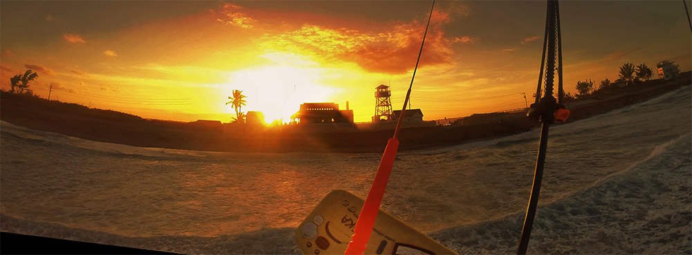
Is there any way to forecast or predict the sea breezes in this area, specifically sarasota? Some days is seems it just seems to crank while others it does nothing?! I know sometimes there are inland storms, but I've never noticed a pattern of cranking sea breeze conditions.

|
|
#2
06-06-2007, 02:39 PM
|
||||
|
||||
|
The guys in Tampa Bay have speculated about this quite a bit as have the rest of us for that matter. We had a great example of this just a couple of days ago documented with wind, direction and temp. readings in:
http://www.bom.gov.au/info/seabreeze/seabree1.shtml The NWS and other services can be haphazard about forecasting seabreeze and frequently fail to predict it. The most consistent simple indicators that suggest seabreezes are more likely (sadly not assured however), include: 1. Clear skys 2. Warm weather If it is very overcast you generally won't see seabreezes. Then again when when had smoke all over the place to where it looked like fog, we still had a seabreeze, exceptions! A good, hot sunny day may herald a good afternoon blow but then again it is the temperature difference between ocean and land that counts. So, we can get seabreezes in winter too. There are many other factors that contribue to sea breezes not the least of which may account for why the wind can be quite localized despite apparent more widespread good conditions for formation. There is a general overview for Florida seabreezes at: http://weather.cod.edu/sirvatka/seabreeze.html A good article with some points worth considering comes out of Oz at: http://www.bom.gov.au/info/seabreeze/seabree1.shtml  Note the Cumulo clouds forming. These can be the 10 mile high bruisers that form like clockwork on both coasts every afternoon and march toward to coasts. As the storm clouds come closer to the ocean the winds generally get stronger as does the likelihood of lightening strikes and eventually possible hazardous squall winds. At other times the winds just turn off leaving you to try to swim in from offshore. Guys have lost boards for this reason, with a sudden wind shift back to offshore or dying off all together.
__________________
FKA, Inc. transcribed by: Rick Iossi Last edited by ricki; 06-07-2007 at 07:23 AM.
|
|
#3
06-06-2007, 03:32 PM
|
||||
|
||||
|
Another very good way of catching sea breeze events is using "HOWZAWIND?" If you see the wind come up suddenly as it is frequently prone to do, share the joy by tossing out a post via phone, pda, etc.. All the regional forums have this thread and it can really help to tune folks into sudden good fortune.
__________________
FKA, Inc. transcribed by: Rick Iossi
|
 |
|
|


 Linear Mode

